High Water Warning System
Flood Monitoring Sensors in Wayne County
To improve public safety and provide real‑time information on flooded roads, Wayne County installed water‑level monitoring sensors at four key stream locations. Funding for this project was provided through a Partners in Watershed Management Grant from the Muskingum Watershed Conservancy District (MWCD), with the grant secured by the Wayne County Commissioners.
The goal of this project is to help first responders, school districts, and county residents receive faster, more accurate flood information.
The sensors track the rise and fall of stream levels in real time, allowing local officials to:
• Identify when a road is about to flood
• Determine when water has receded and roads are safe again
• Monitor stream response during heavy rainfall events
• Better prepare emergency routes and response plans
This data is especially useful at streams that drain large watersheds or run near major roadways.
This project is a collaborative effort between several local agencies:
• Wayne Soil & Water Conservation District (SWCD)
– Led sensor and site selection
– Assisted with grant application and implementation
• Wayne County Planning Department
• Wayne County Emergency Management Agency (EMA)
• Wayne County Engineer’s Office
– Provided labor and materials to install three of the sensor supports
• City of Wooster
– Provided labor and materials for one sensor installation
The sensors were fully installed in May 2021.
These real‑time monitoring tools help:
• Protect drivers and emergency personnel
• Reduce response times
• Improve communication with schools and the public
• Provide valuable hydrologic data for future planning
• Enhance watershed management efforts across the county
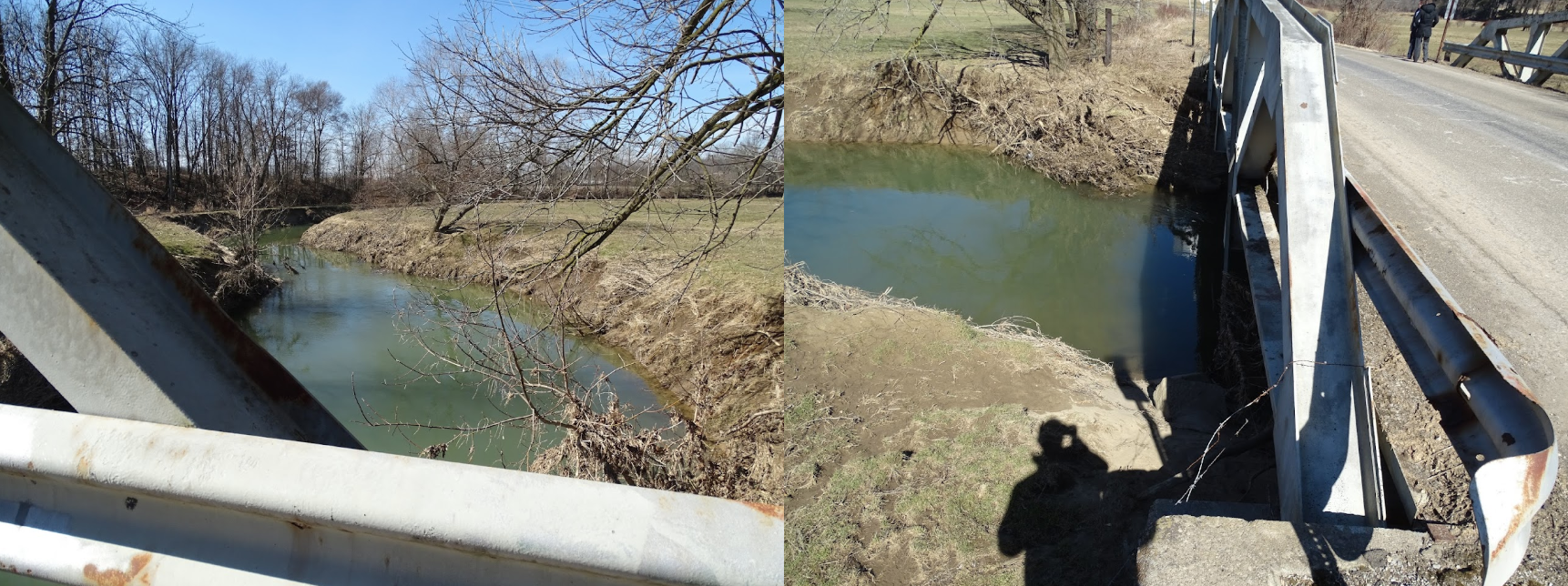
Wooster - Spruce Street and Grosjean Road (Apple Creek)
County - Willow Road (Killbuck Creek)

County – W. Lebanon Road (Sugar Creek)